Geodetic Engineer
EHM Realty & Development Corporation
Job Description
- Conduct land, geodetic, hydrographic, and engineering surveys using advanced instruments (Total Station, GNSS/GPS, LiDAR, drones).
- Establish and verify property boundaries in compliance with land laws and regulations.
- Prepare and certify survey plans, maps, and reports for titling, land registration, and engineering purposes.
- Perform topographic, cadastral, and as-built surveys to support design and construction.
- Establish horizontal and vertical control networks for geodetic referencing.
- Manage survey data, GIS databases, and CAD drawings for analysis and project use.
- Ensure accuracy of survey measurements and computations.
- Collaborate with architects, engineers, developers, and government agencies.
- Supervise and train survey teams and technical staff.
- Ensure survey activities comply with safety, legal, and professional standards.
EHM REALTY & DEV'T CORP LIPA BATANGAS
HR OfficerEHM Realty & Development Corporation
Reply 3 Times Today
Working Location
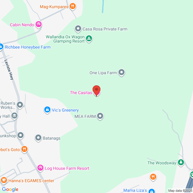
Bulacnin. Bulacnin, Lipa City, Batangas, Philippines

Posted on 18 September 2025
Explore similar jobs
View more similar jobsGeodetic Engineer
 Unitan Construction and Development Corporation
$339-423[Monthly]
On-site - Batangas<1 Yr ExpBachelorFull-time

HR UnitanRecruiter
Geodetic Engineer in Cainta Rizal
 Job Vacancy Phil
$339-423[Monthly]
On-site - RizalFresh Graduate/StudentBachelorFull-time

Gladys Anne RoqueRecruiter
Road Engineer
 Geoharbour Construction Philippines Inc.
$423-508[Monthly]
On-site - Rizal1-3 Yrs ExpBachelorFull-time

HR Geoharbour Construction Philippines Inc.HR
Office Electrical Engineer
 EIS Industries and Construction Corporation
$389-474[Monthly]
On-site - Batangas1-3 Yrs ExpBachelorFull-time

Ojie SaldivarHR Officer
Safety Officer
 South Pacific Inc.
$423-508[Monthly]
On-site - Batangas1-3 Yrs ExpBachelorFull-time

South Pacific IncHR Associate
Sign In to Chat with Boss
Bossjob Safety Reminder
If the position requires you to work overseas, please be vigilant and beware of fraud.
If you encounter an employer who has the following actions during your job search, please report it immediately
- withholds your ID,
- requires you to provide a guarantee or collects property,
- forces you to invest or raise funds,
- collects illicit benefits,
- or other illegal situations.

